We left Jacob Lake early because it was a Friday and I wanted to get to the campground early in the day. It turned out to be the right thing to do. We have been here twice before and this campground is usually empty, us and three or four other groups. This year the place is 3/4 full. Some people are here for a condor release on Saturday however most of the people just seem to be passing through.
 We usually have one of the two campsites that directly over look the Colorado River, no such luck this year.

Here is the campsite with the traveling flamingos, in the tree.
We took the car and drove back out to Hwy 89 to take pictures of the Vermilion Cliffs and some of the rock that have fallen down off the cliffs.
 I think these a over 2000 feet high.


 This is a rock that rolled down from the cliffs a long time ago and the ground around it has eroded away. The pickup belongs to a lady who is using the rock for shade to sell her jewelry.
 This is a house which was built under one of these large rocks, great place to stay cool.
 We had rain yesterday afternoon and most of the night. A lot of people came back to the campground wet. The park has had a lot of rain over the last 3 weeks. The rain storm from hurricane Norbert brought the 7th highest quantity of rain to Zion in a 24 hour period in the 86 years they have been keeping track of rain fall. The Virgin River went from 40 cfs (cubic feet per second) to 2500 cfs. The storm in 2010 which wash out some of the road peaked at 8000 cfs and was one of the largest volumes since the 1960’s.
 In this picture you can see people at the top of Angels Landing.
 This is the InReach track of my hike. The GPS had a lot of trouble when we were down inside the slot canyons. My FitBit said I hiked 13.68 miles and yes I was hot and tired, hiked from 7:20 to 1:45. When I got back to the motorhome I had two strawberry daiquiris, they were GOOD.
 The Virgin River hiking picture from 2010 is still on all the buses.


 These are pictures from my InReach GPS tracker.
 This was my turn around point, the end of Jolley Gulch. I think I was about 3.5 miles and I had to go back the way I came. A lot of the trail was loose sand and when I get tired it really sucks the energy out of my legs. It was a good think I turned around here, I was tired when I got back to the car.
 The trail was one of the original roads into this area.
 It is really nice up here.


 This is a map of our current travels.


 We have been here so long I think we need another campsite picture.
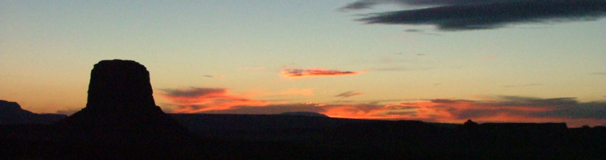
 We don’t have clouds like this at home so I am obligated to take pictures and show them.


 I will not bother you with any more today, however I do have more.
 We are still at Cathedral Gorge setting out the weather. This seemed like to be a good place to be with all the potential flooding the weather channel was talking about over the last several days. I talked to one of the park people and he said he hoped we’d get some rain but we would not have any flooding here in the park.
 This place does have a of interesting formations.
 It has been a little hot for Hank, he really wanted to play with one of these bones but it was just to warm to move.
 We are still at Cathedral Gorge and the weather has been great, normal for the Southwest. Hank and I have run the A/C a couple of times and that has been nice.
 Tomorrow we are leaving to move a little further south. Going to either
  Hank and I have been up and out each morning for a nice walk before the sun gets to high in the sky and hot.